

Introduction
At L.O.D. 600 Construction Technology Services, we pride ourselves on utilizing cutting-edge technology to enhance every phase of construction and renovation projects. Recently, we conducted an extensive LiDAR scanning service for a property in the Bozeman, Montana area. This project showcases our capability to provide detailed floor and site plans, incorporating topography (TOPO) and vegetation, to facilitate strategic planning and design for the next phase of the property’s life cycle.
The Project
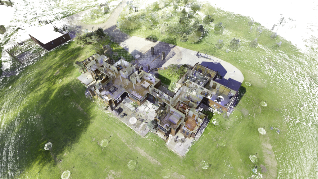
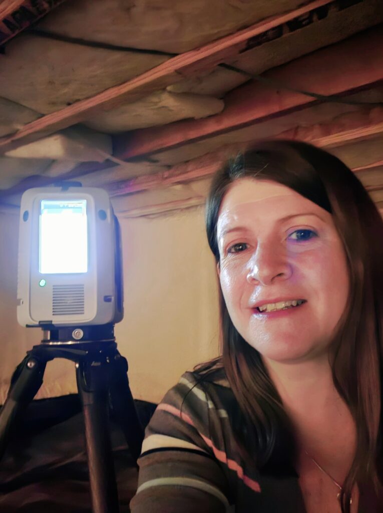
The property required a full scan of both interior and exterior spaces, including the crawl space. Utilizing our advanced LiDAR technology, we meticulously measured 3.9 billion points, capturing every detail necessary to create a comprehensive floor plan and site plan. This level of detail is crucial for making informed decisions about layout and space usage, ensuring that every aspect of the property is accurately represented.
LiDAR Scanning and Detailed Planning
LiDAR scanning offers unparalleled precision in capturing the physical environment. For this Bozeman property, the detailed scan data will be used to develop floor plans and site plans that reflect the exact conditions of the property. These plans are essential for architects and designers as they plan the next phase of the home’s life cycle, enabling strategic decisions about space utilization, layout adjustments, and overall design improvements.
Incorporating TOPO and Vegetation Data
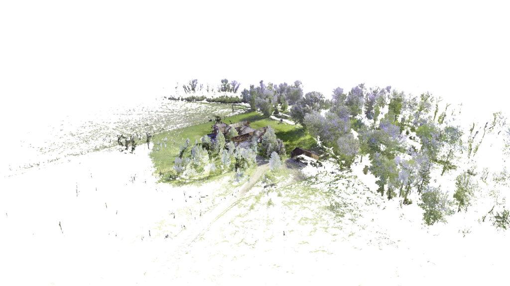
One of the unique aspects of this project was the inclusion of topography and vegetation data in the site plan. Understanding the terrain and existing vegetation is critical for planning outdoor spaces, landscaping, and any potential modifications to the property. The detailed TOPO and vegetation data provide a holistic view of the property, ensuring that all natural features are considered in the design process.
BIM and VDC Integration
The integration of Building Information Modeling (BIM) and Virtual Design and Construction (VDC) enhances the value of the LiDAR scan data. By incorporating the scanned data into our BIM systems, we create detailed and accurate models that inform the planning and design phases. VDC services further allow us to simulate various design scenarios, optimize layouts, and identify potential issues before they arise, streamlining the entire project workflow.
The Benefits of Advanced Scanning Technology
Utilizing LiDAR scanning, BIM, and VDC for this project in Bozeman offers numerous benefits. The precision and detail provided by LiDAR scans ensure that every aspect of the property is accurately captured, facilitating better planning and design. The integration with BIM and VDC enables efficient project management, reduces the risk of errors, and ensures that the final design meets the highest standards of quality and functionality.
Conclusion
The LiDAR scanning project for the property in Bozeman, Montana, highlights the importance of advanced scanning technologies in modern construction and renovation. At L.O.D. 600 Construction Technology Services, we are committed to delivering exceptional results through the use of LiDAR scanning, BIM, and VDC. Our detailed and accurate plans help clients make strategic decisions, ensuring the success of their projects.
